£1,495.00
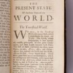
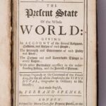
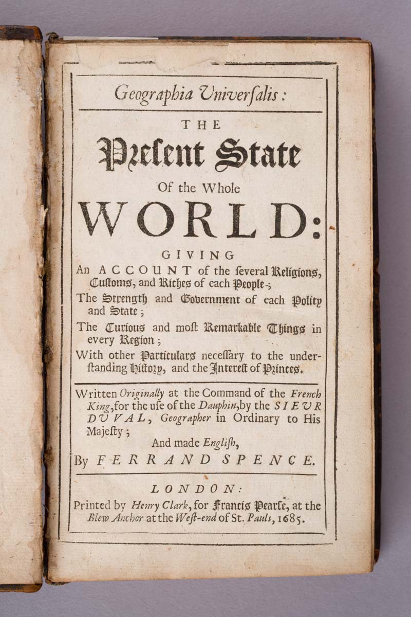
DUVAL, Pierre; SPENCE, Ferrand (trans.). Geographia Universalis: The Present State of the Whole World: Giving an Account of the several Religions, Customs, and Riches of each People; the Strength and Government of each Polity and State; the Curious and most Remarkable Things in every Region; with other Particulars necessary to the understanding History, and the Interest of Princes. London: Printed by Henry Clark, for Francis Pearce, at the Blew Anchor at the West-end of St. Pauls, 1685.
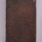
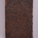
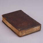
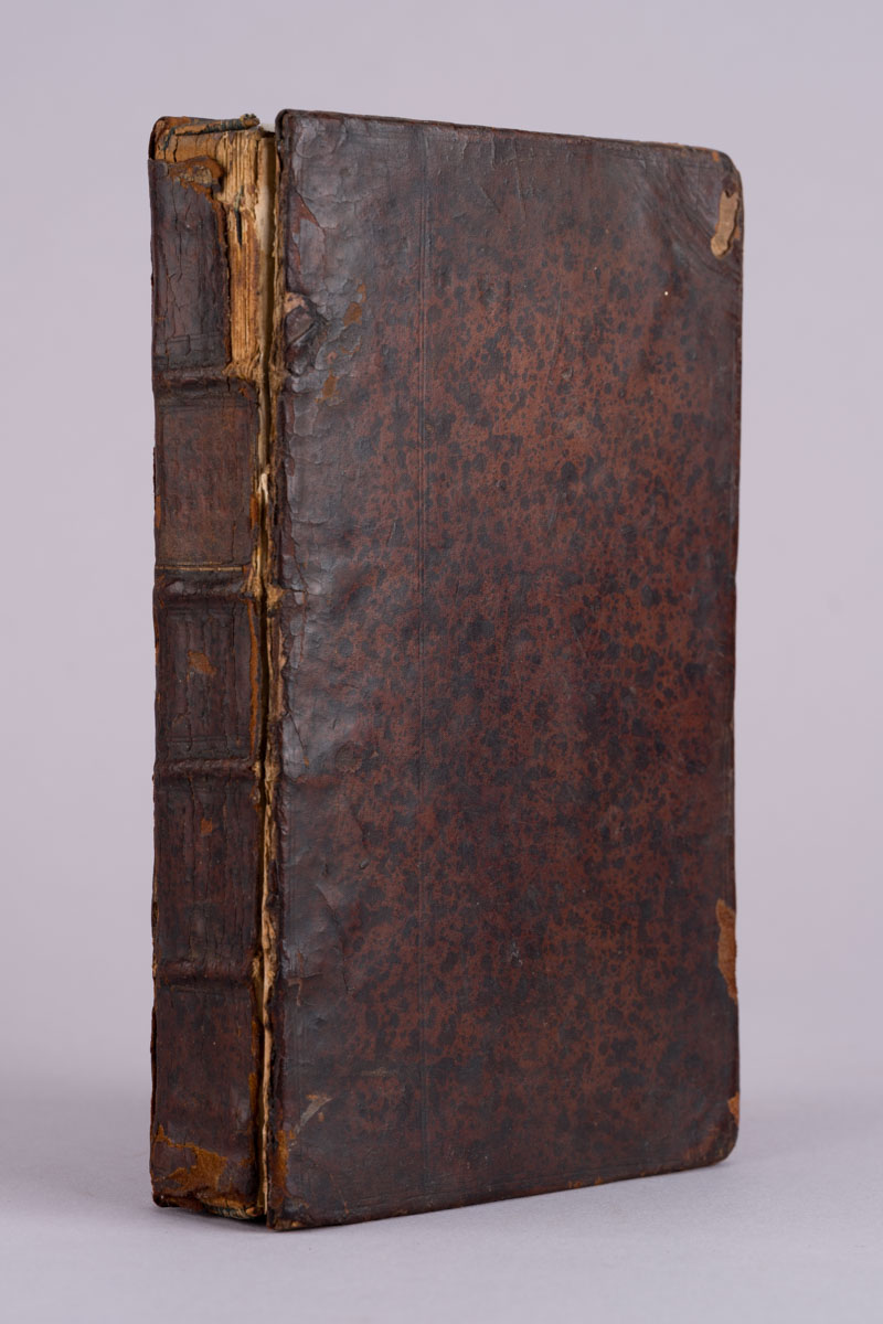
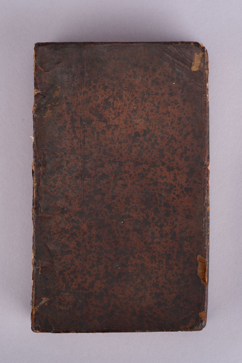
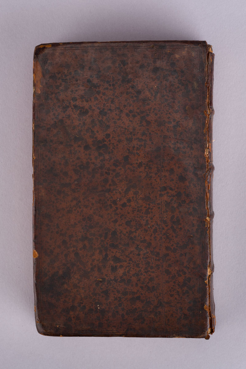
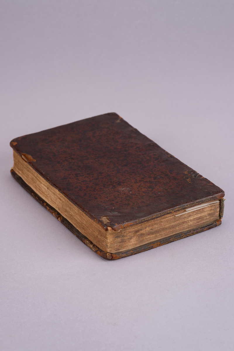
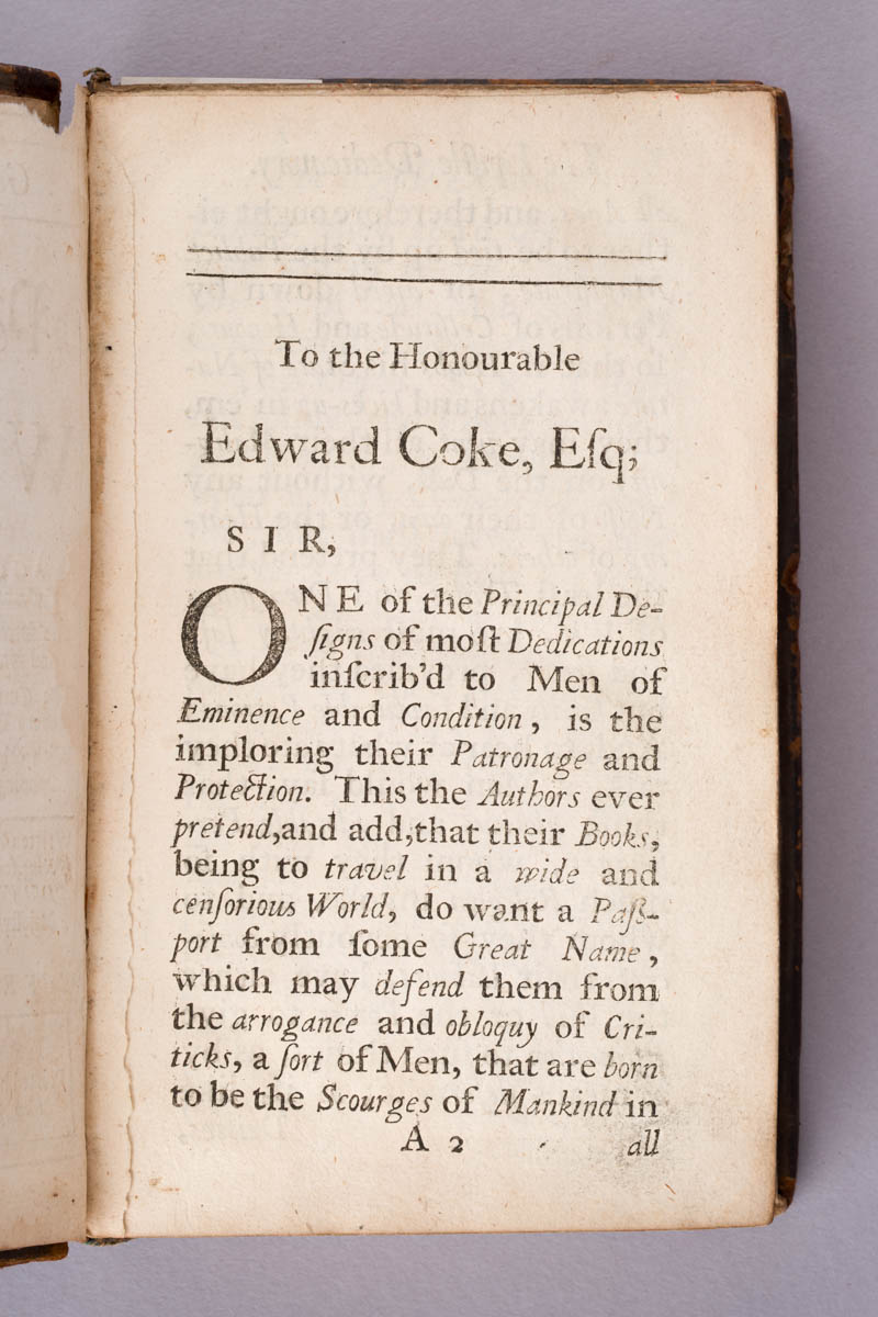
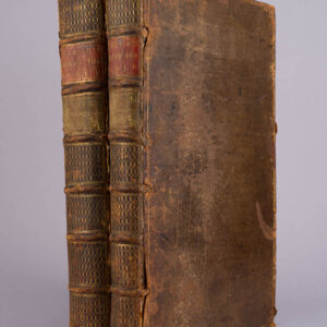
An early English edition of Pierre Duval’s geographical survey of the world, translated and adapted by Ferrand Spence. Contemporary full calf, boards ruled in blind. The work surveys the known world geographically and politically, encompassing Europe, Asia, Africa and the Americas and discussing government, religion, customs, wealth and notable characteristics of individual peoples and states.
The binding shows substantial age-related wear, with rubbing and losses to the leather, particularly at the spine and extremities, and weakness to the joints. Contents show expected toning and occasional spotting and marking. The survival of the volume in an early binding gives it considerable period character.
Year: 1685
Edition: First Edition
Publisher: Printed by Henry Clark, for Francis Pearce, at the Blew Anchor at the West-end of St. Pauls
1 in stock
Published in London in 1685, Geographia Universalis captures an extraordinary moment in the history of geographical knowledge — a world increasingly connected by exploration, commerce and empire, but still filled with territories that European writers only partially understood.
The book originated with Pierre Duval, Geographer to the King of France and one of the important French geographical writers of the seventeenth century. As the title page proudly records, the work had originally been prepared “at the Command of the French King, for the use of the Dauphin.”
Ferrand Spence brought the work to an English readership, presenting far more than simple physical geography. Nations are considered through their religions, customs, wealth, governments and political strength, making the volume effectively a seventeenth-century attempt to explain the entire geopolitical world.
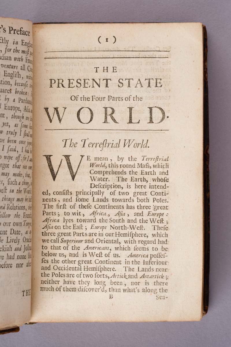
Its opening geographical discussion is particularly evocative of its age. The Earth is divided into the great regions of Africa, Asia, Europe and America, while the lands towards the poles — described as “Arctick and Antarctick” — remained largely unknown.
For a modern reader, this is precisely what makes the book compelling. It does not simply describe geography: it preserves a snapshot of how educated Europeans perceived the world more than three centuries ago.
This is a particularly attractive historical object for collectors of early geography, exploration and seventeenth-century books.
Published in 1685, during the reign of Charles II, it belongs to the formative period when expanding European exploration was dramatically changing contemporary understanding of the globe.
Its appeal crosses several collecting fields: geography, travel and exploration, political history, European intellectual history and early English printing.
Most importantly, it offers something that a modern historical account cannot: the world described by someone living within the seventeenth century itself. References to America, Africa, Asia and the still poorly understood polar regions allow the reader to encounter geographical knowledge before much of the modern map had been established.
The survival of the volume in an early calf binding, despite its evident wear, adds substantially to its historical presence. This is not merely a book about the seventeenth century; it is an artefact from the seventeenth century.